Mount Rugby, Bathurst Harbour
Alice Hansen
Access your favourites here
You have a trip stored, would you like to save it?
It’s a place of jagged mountain ranges, buttongrass moorlands and primeval rainforest that’s skimmed by roads but is predominantly remote and wild in nature.
The park has two main road approaches: the Gordon River Road to the park's north, which winds between mountains to Lake Pedder and Lake Gordon; and Cockle Creek, the southernmost road end in Australia. Deep within the national park is Melaleuca, a former tin-mining settlement accessible only by plane or a week of walking.
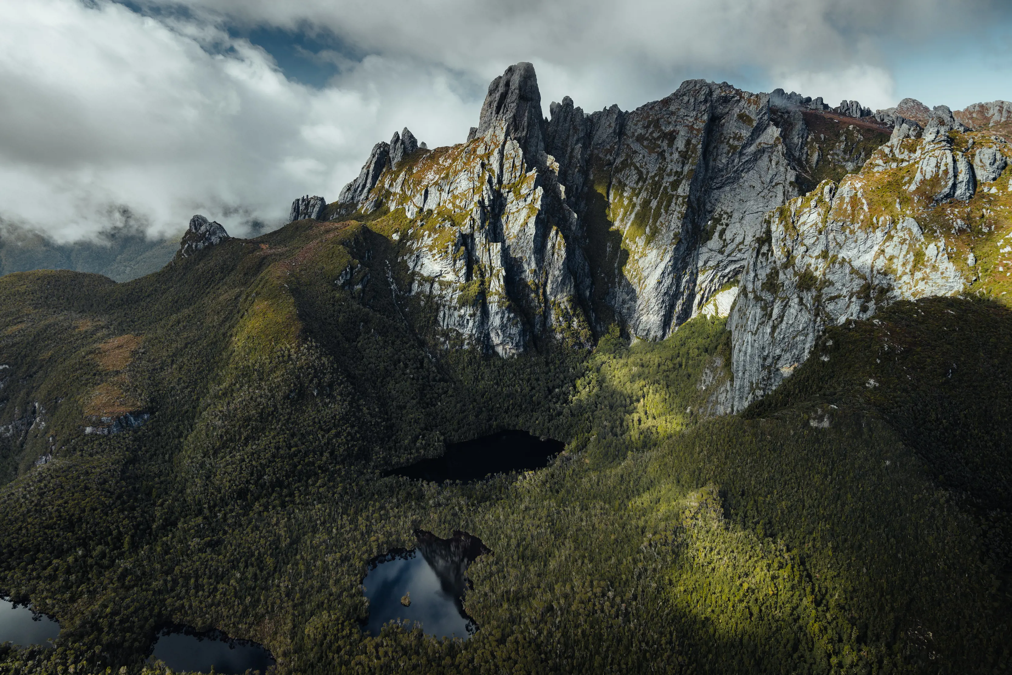
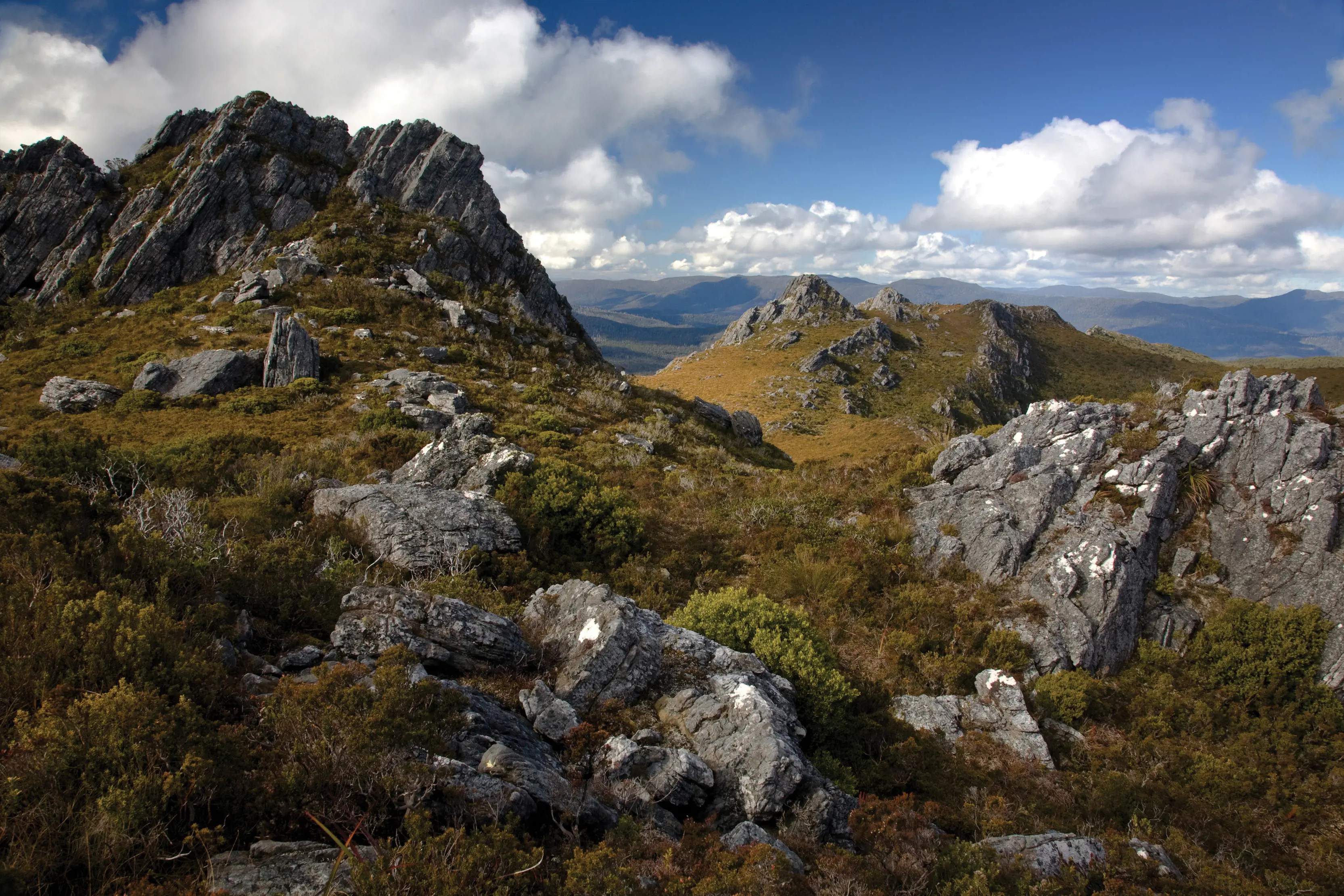
Some of Tasmania’s most dramatic and challenging mountains are here, but there are just as many accessible pockets of the park that offer a glimpse of the vast wilderness beyond.
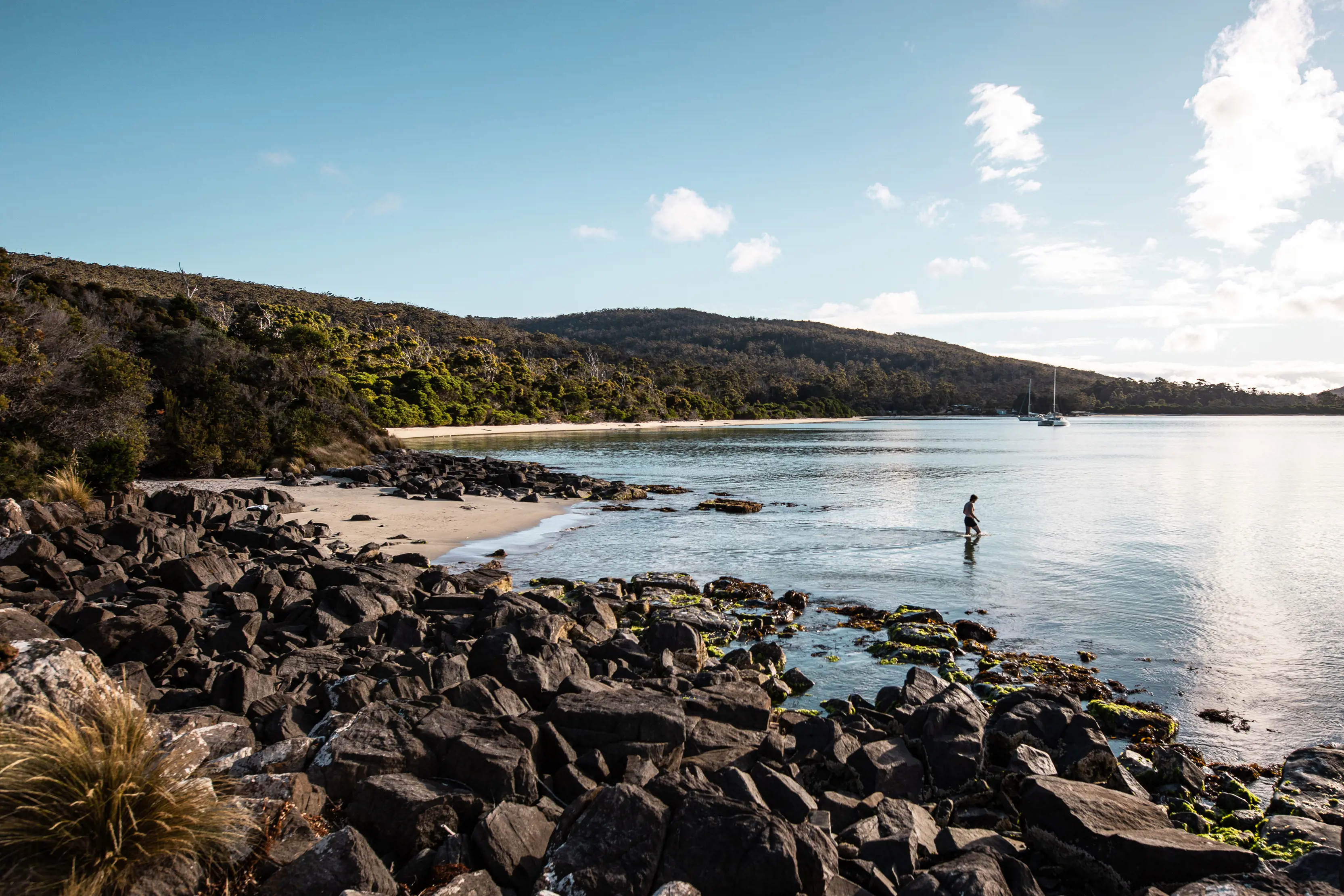
Tasmania’s far-south coast is strung with beaches. The South Coast Track showcases the full collection, but the beaches of South Cape Bay can be reached on a 4hr return walk from Cockle Creek.
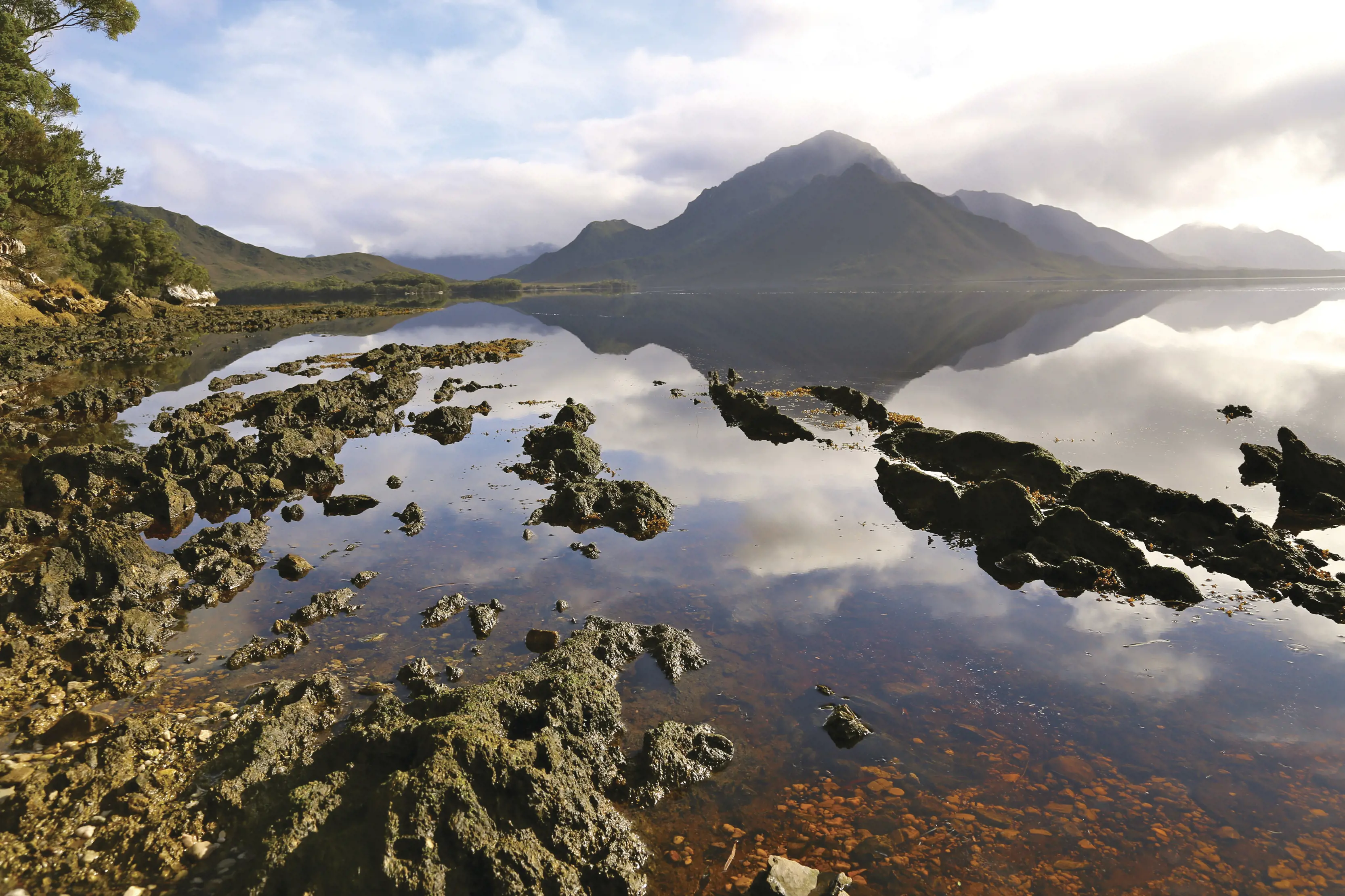
Only very experienced with specialised hiking, navigation and first aid skills will set out for the park’s most daunting peaks – Federation Peak, Precipitous Bluff, the Western Arthurs, Mount Anne – but there are fine views of these mighty mountains from the shores of Lake Pedder, near Strathgordon, or on the flight to Melaleuca.
Dotted with remnants of its tin-mining days, remote Melaleuca is now home to the Deny King Heritage Museum, telling the story of the remarkable man who created the mines. Melaleuca offers a glimpse of Tasmanian Aboriginal culture on the 1.2km Needwonnee Walk, and the rare chance to spot the orange-bellied parrot, a bird on the brink of extinction. Melaleuca is accessible only by plane or on the South Coast Track.
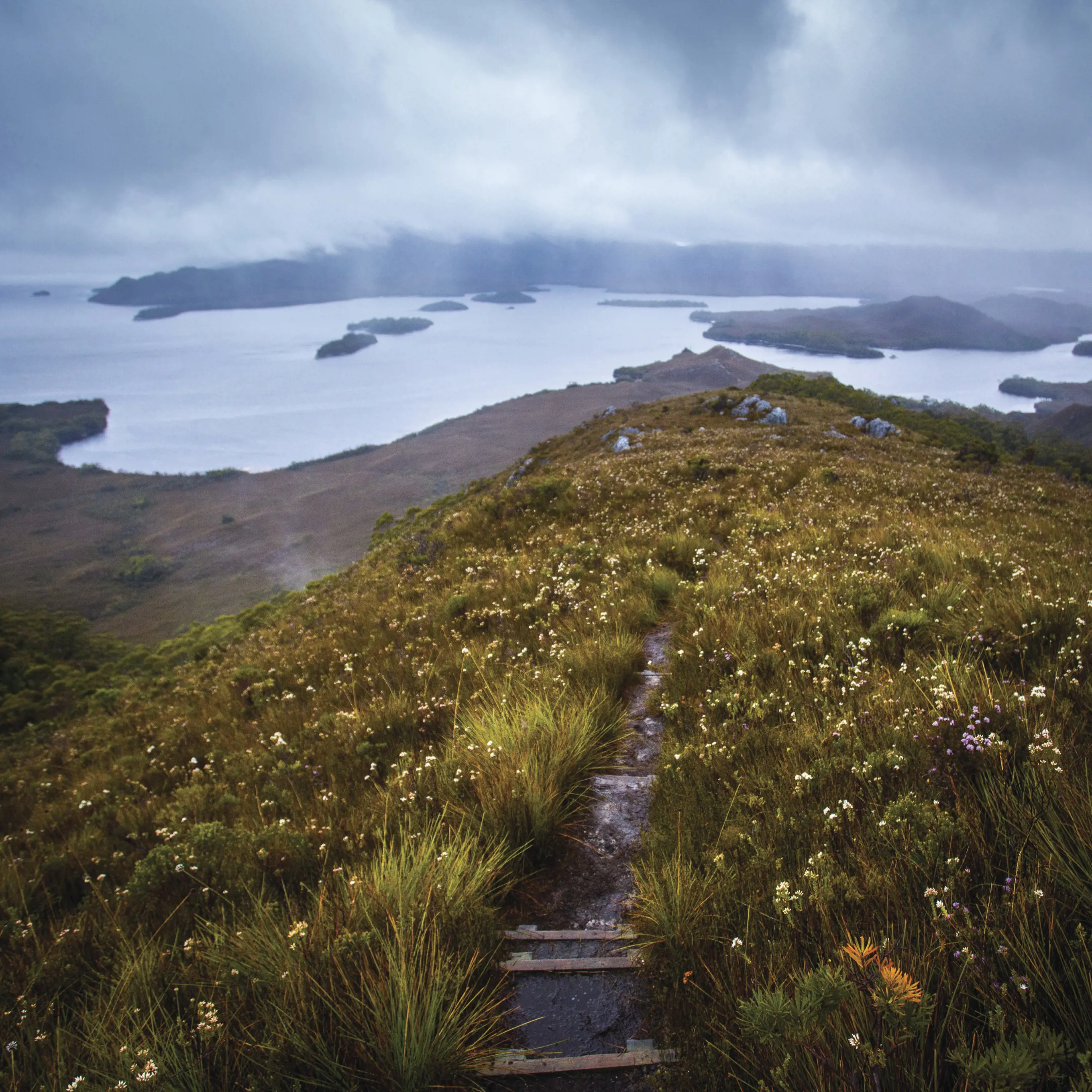
Set aside a week (six to eight days) for the challenging 85km coastal traverse from Melaleuca to Cockle Creek, which connects nine beaches and crosses the heights of the infamous Ironbound Range. Be sure to check out the Tasmania Parks and Wildlife Service track notes and safety information as essential prep. The safest way to go is with an accredited guided tour.
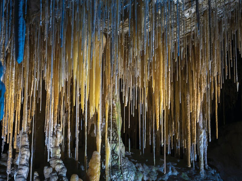
Walk through dense forest, largely on boardwalk, to this flooded sinkhole turned peaceful lake (90min return, 4.2km). One of Tasmania’s 60 Great Short Walks.
Head as far south as you can get, walking across plains from Cockle Creek to the south coast. The track emerges atop coastal cliffs in sight of Australia’s southernmost point. The walk (4hr return, 15.4km) forms one end of the South Coast Track and is one of Tasmania’s 60 Great Short Walks.
Bend, twist and duck your way through the cool-temperate rainforest on this short boardwalk (30min, 1km) near Strathgordon, where the forest doubles as an obstacle course.
Fly to Melaleuca for a three-day stay at a permanent wilderness camp, exploring the waterways of Bathurst Harbour and Port Davey.
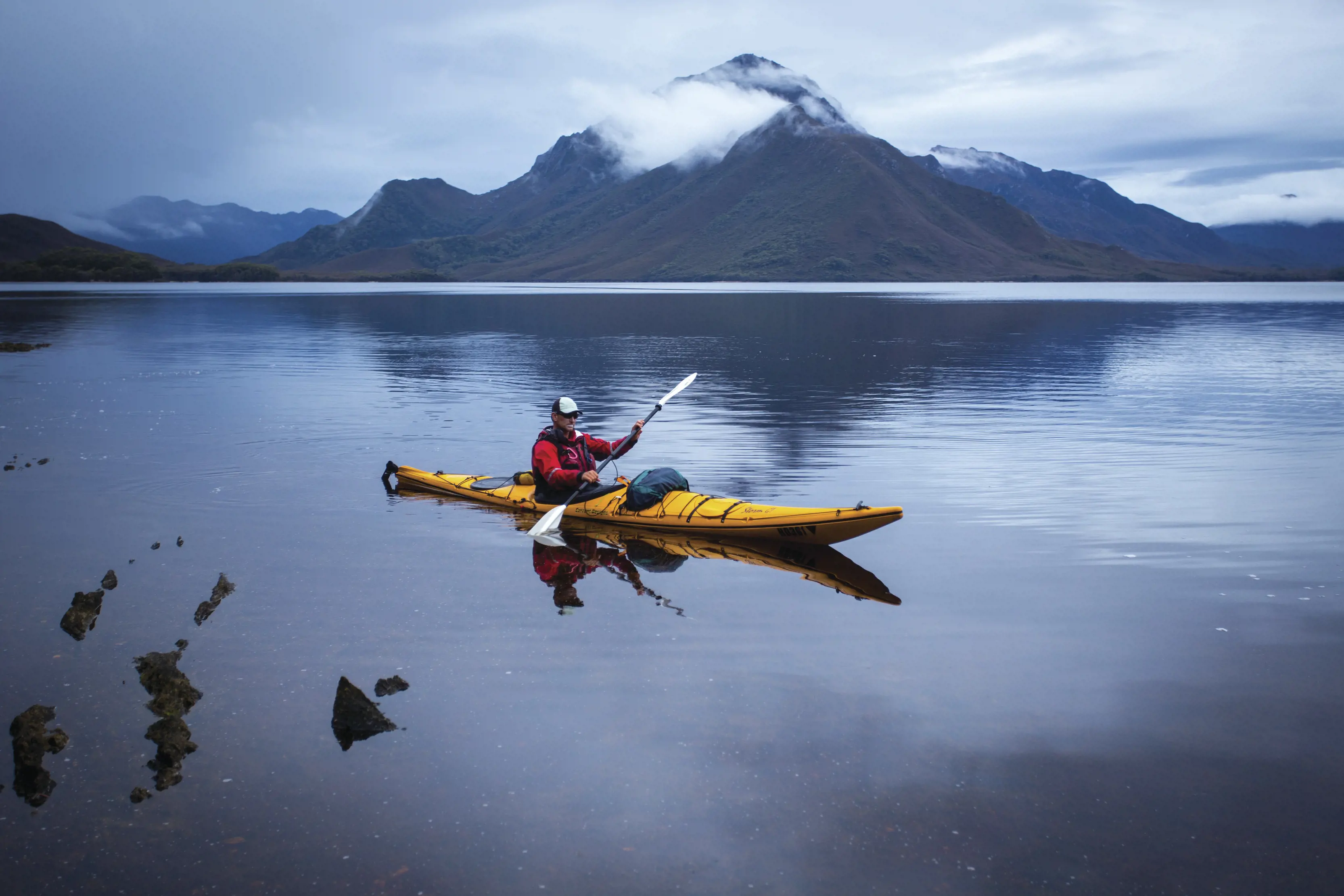
Paddle around Bathurst Harbour and Port Davey, exploring little-seen coastlines and islands and camping behind wilderness beaches. Four- and eight-day trips available.
Take a luxurious multiday cruise into the primeval south-west wilderness upon On Board's boutique expedition catamaran. Guided walks and tailored itineraries allow you to absorb the majesty of this vast World Heritage wilderness, without compromising on creature comforts.
If you don't have several days and want a taster of the south west, float above breathtaking plains and peaks on an Above and Beyond seaplane adventure to Port Davey and Bathurst Harbour. Tuck into a gourmet picnic hamper in a private bay before returning to Hobart – easy peasy.
Large areas of this park are remote and inaccessible. Hikes into the park should be undertaken by very experienced and self-sufficient bushwalkers. Plan ahead and come equipped with all that you need - the safest way to explore is with a trusted local guide. Tracks may be rough, steep and unmarked and the weather is highly changeable and often fierce. Be prepared for all conditions including sudden rain and temperature changes.
There’s camping at Cockle Creek and at the Huon, Teds Beach and Edgar campgrounds around Lake Pedder. Other nearby accommodation options include Dover and Southport in the south, and Maydena and Pedder Wilderness Lodge in the north.
A parks pass is required for entry to Tasmania’s national parks.
Cockle Creek is a 2hr drive (120km) south of Hobart. Strathgordon, gateway to Lake Pedder, is a 2hr 20min drive (157km) west of Hobart.
Learn more about the park at the Mount Field National Park visitor centre (in the north), the Tasmania Parks and Wildlife Service office in Huonville (in the south) or visit the Parks and Wildlife website for essential park information, alerts and safety tips.