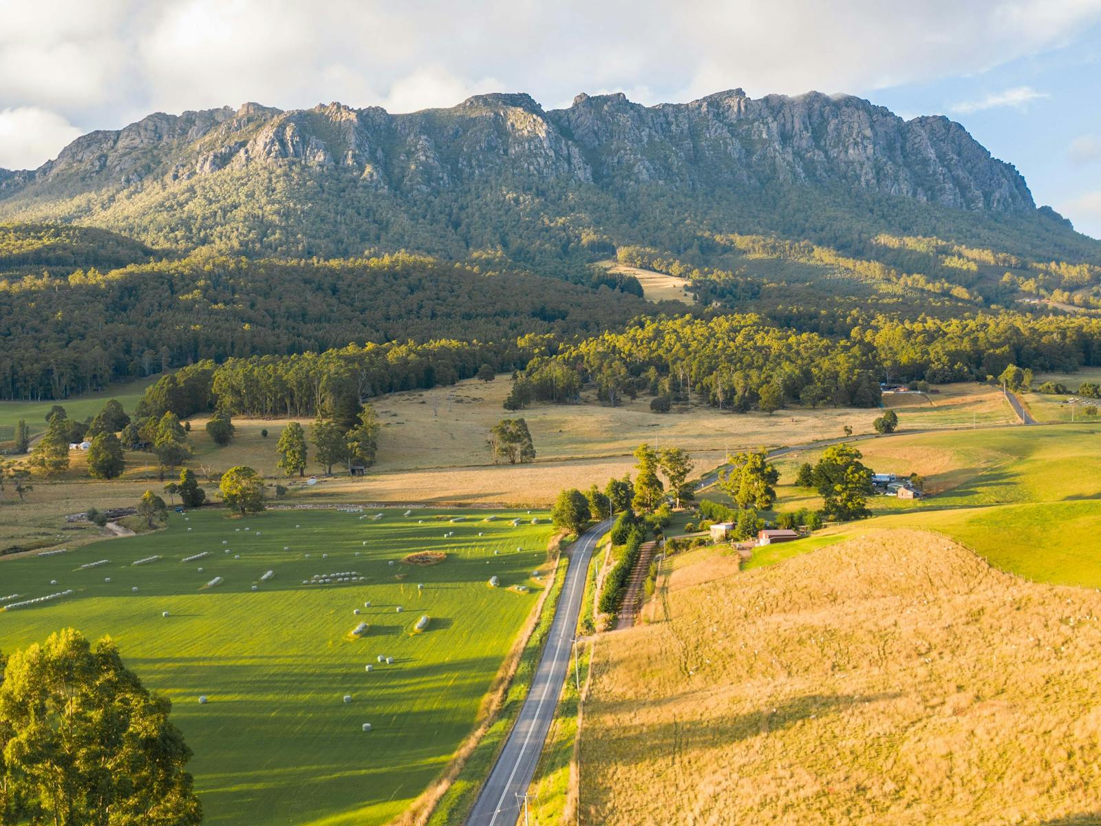
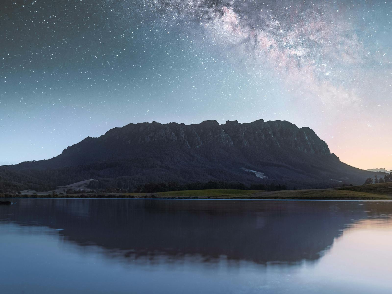
Attraction

Mount Roland

Hikers celebrate and commemorate reaching the peak
Mount Roland towers over farmland
Milky Way shines of Mt Roland, both reflecting in lake waters
Mount Roland stands at 1233 metres above sea level and provides a stunning backdrop to the Kentish Municipality. The walk takes in the plains and plateau leading to the summit of the peak and there are two tracks to the summit. The first - not recommended - the Mt Roland via Kings Road (Face Track), starts from Kings Road, Claude Road Village off the C136 and turns into a steep mountain climb. This track is not recommended as it is potentially dangerous, steep and awkward. Walking time takes from three to five hours return. The second - and preferred - walking track starts at Gowrie Park Village on O'Neill's Road off the C136 Walking time takes from four to six hours return. This is the easiest track to walk to the summit as it has a moderate incline. The trig point at the top of the summit provides spectacular 360 degree views to Bass Strait, Cradle Mountain and Barn Bluff.

Carpark

Picnic Area

Public Toilet

Actively welcomes people with access needs.

Hiking

Rock Climbing

Scenic Drives

By creating an account on Discover Tasmania, you agree to the terms of use outlined in our Privacy Statement


Success! You are now logged in.

Add to trip

Which trip would you like to add this to?

Need to Remove from a trip?

Remove from trip

Select the trip you would like to remove this from.

Cancel

You have nearly reached the Explore Map plot limit of 27 items per itinerary.

Try splitting itineraries, rather than creating one large itinerary.


Manage trips
Please try again in a few moments.